
Shipwreck Mapping
ICEX Shipwreck mapping in malta.
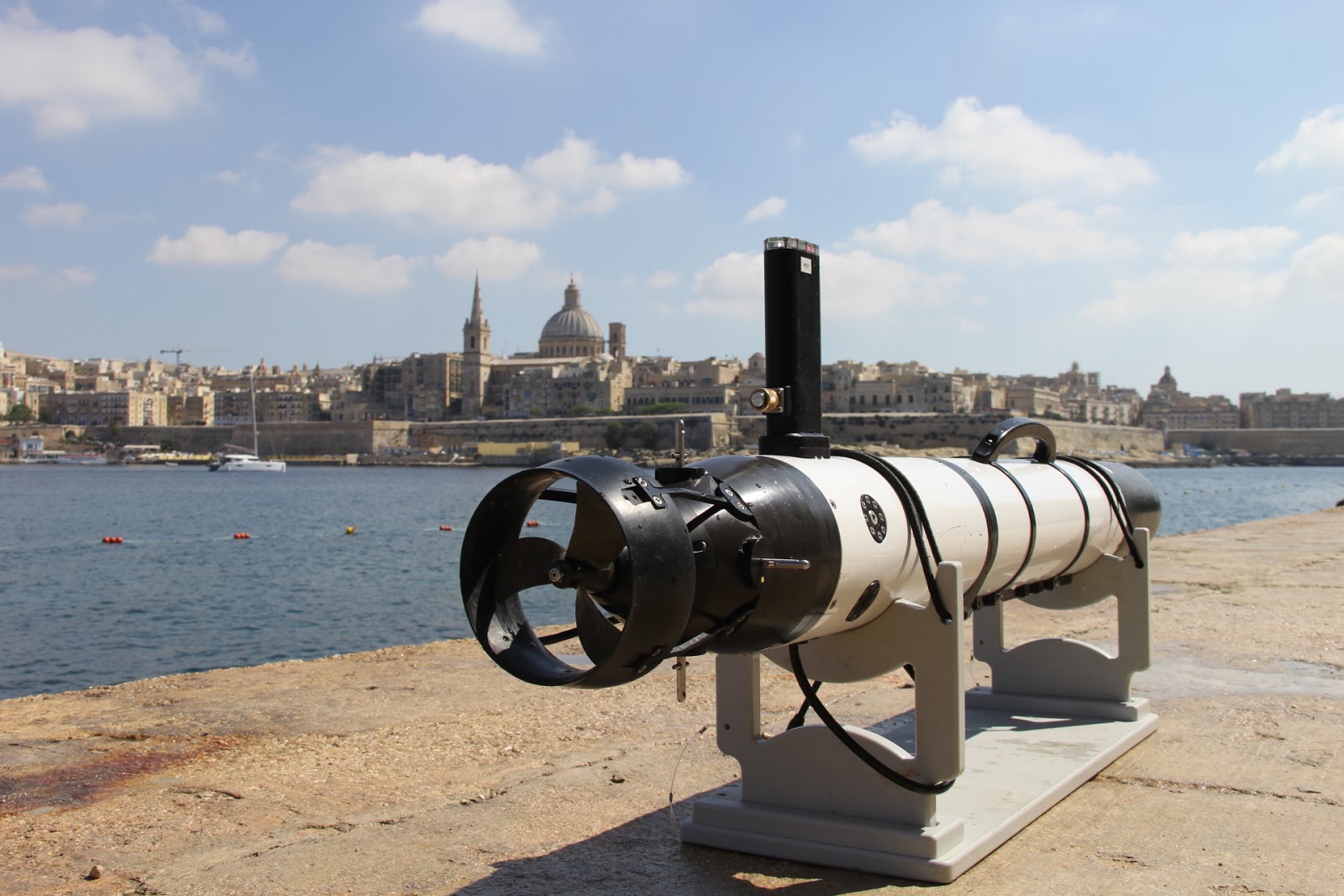
Since Summer 2016 the LAIR has been collaborating with Cal Poly SLO and archaeologist Dr. Timmy Gambin from Malta to intelligently gather data for the creation of 3D photogrammetric models of shipwrecks using an autonomous underwater vehicle (AUV). Since 2016, the LAIR team has deployed the OceanServer IVER3 at a variety of wrecks in Malta to gather reconstruction data, including a Bristol Beaufighter plane wreck in St. Julian’s Bay and the HMS Maori battleship wreck near Valletta.

Iver3 on a mission over HMS Maori battleship near Valleta.
Current research for this project focuses on motion planning methods with which to coordinate multiple robots gathering photogrammetry data simultaneously and on creating maximally informative information maps to input into the planner from low-resolution or choppy initial data. The team has developed a multiple-deployment data processing and motion planning pipeline with which it is possible for an AUV to autonomously gather all of the data necessary to construct a 3D reconstruction of a shipwreck. This has the potential to decrease costs and potential danger for human divers and archaeologists, making shipwrecks more accessible to the general public.
A video accompanying the 2017 ICRA paper of this research: